Our Services Include:(but are not limited too)
-Exterior Washing
-Window Cleaning
-Roof Soft Wash
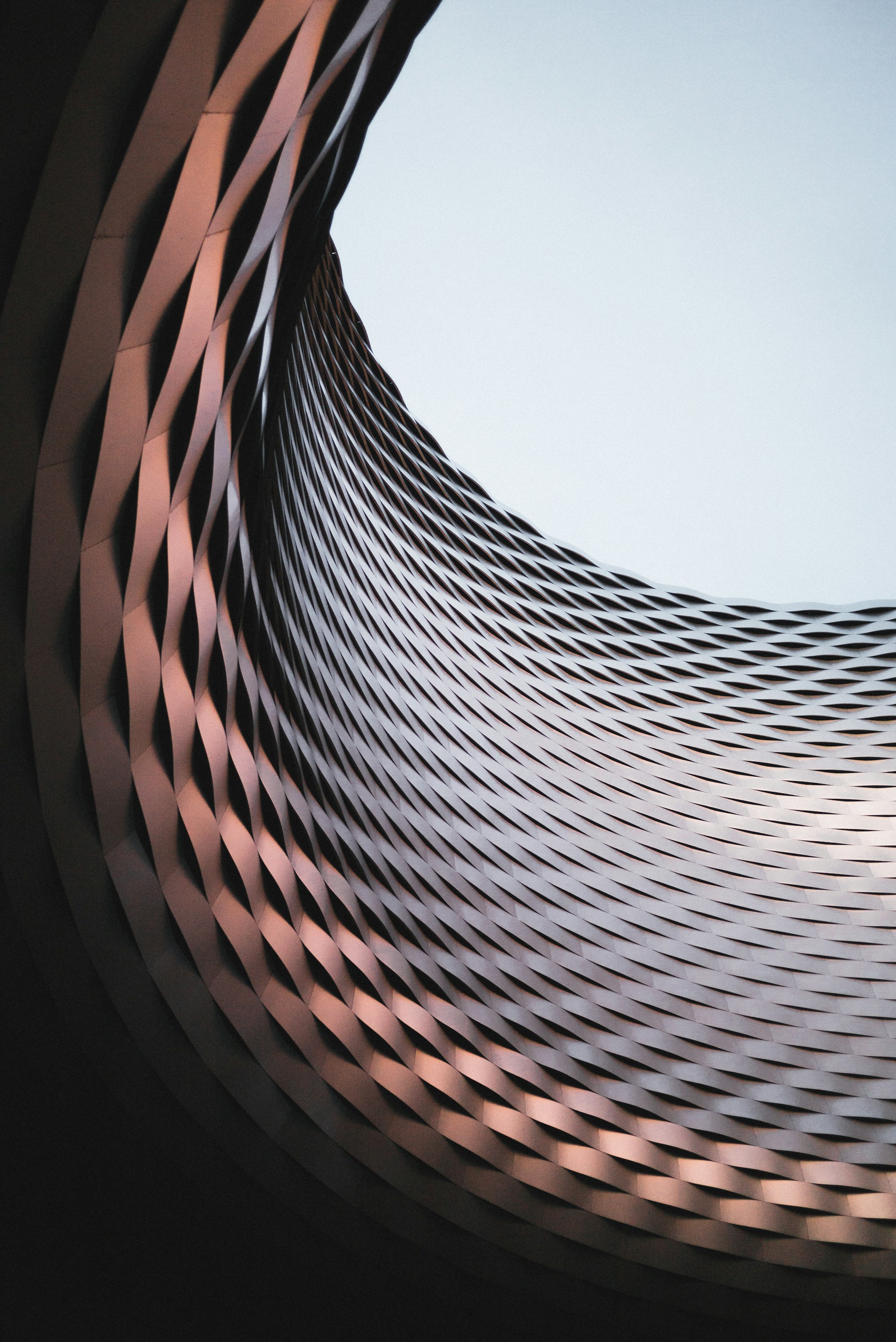
-Commercial Facade Cleaning
-Residential Cleanings Pool Cages and Siding.
Save money and time with low risk
30% lower cost
No scaffolding
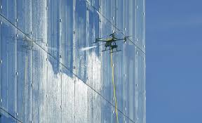
Real results driven pressure washing and soft washing
Photos of before and after


Get in touch
Share with visitors how they can contact you and encourage them to ask any questions they may have.
Services
Expert drone solutions for various industries including exterior cleaning, photography, mapping as well as standard cleaning services.
Contact
About
dakotamcafee@strato-capture.com
865-310-7099
© 2025. All rights reserved.